Bikepacking without a map

The idea was to get from Hugo’s house in the hills of Somerset to our friend Max’s new campsite somewhere south of Barnstaple. A simple trip except we decided to leave the map and GPS behind and see if our noses alone could get us there.
We didn’t know what we were going to discover, to be honest we barely knew where we were going. Hugo had a little, somewhat questionable, local knowledge for the start and Tom knew how to get to Max’s farm as long as we got to the river Taw. While I, the non local simply knew it was roughly West South West. So I set my compass in that direction and chose whichever path was closest.
That’s how we made most of our decisions on this trip, that and simply “this feels right”, “that looks cool” or “I think we should go this way”. If there was ever an option for dirt we had to take it and if we realised we were going the wrong way we had to carry on regardless and see where we ended up. It really does sound like a recipe for disaster, it sounds like we would end up on some terrible roads and stuck down dead end paths. But whatever our noses had caught the scent of was heading the right way down some brilliant trails.
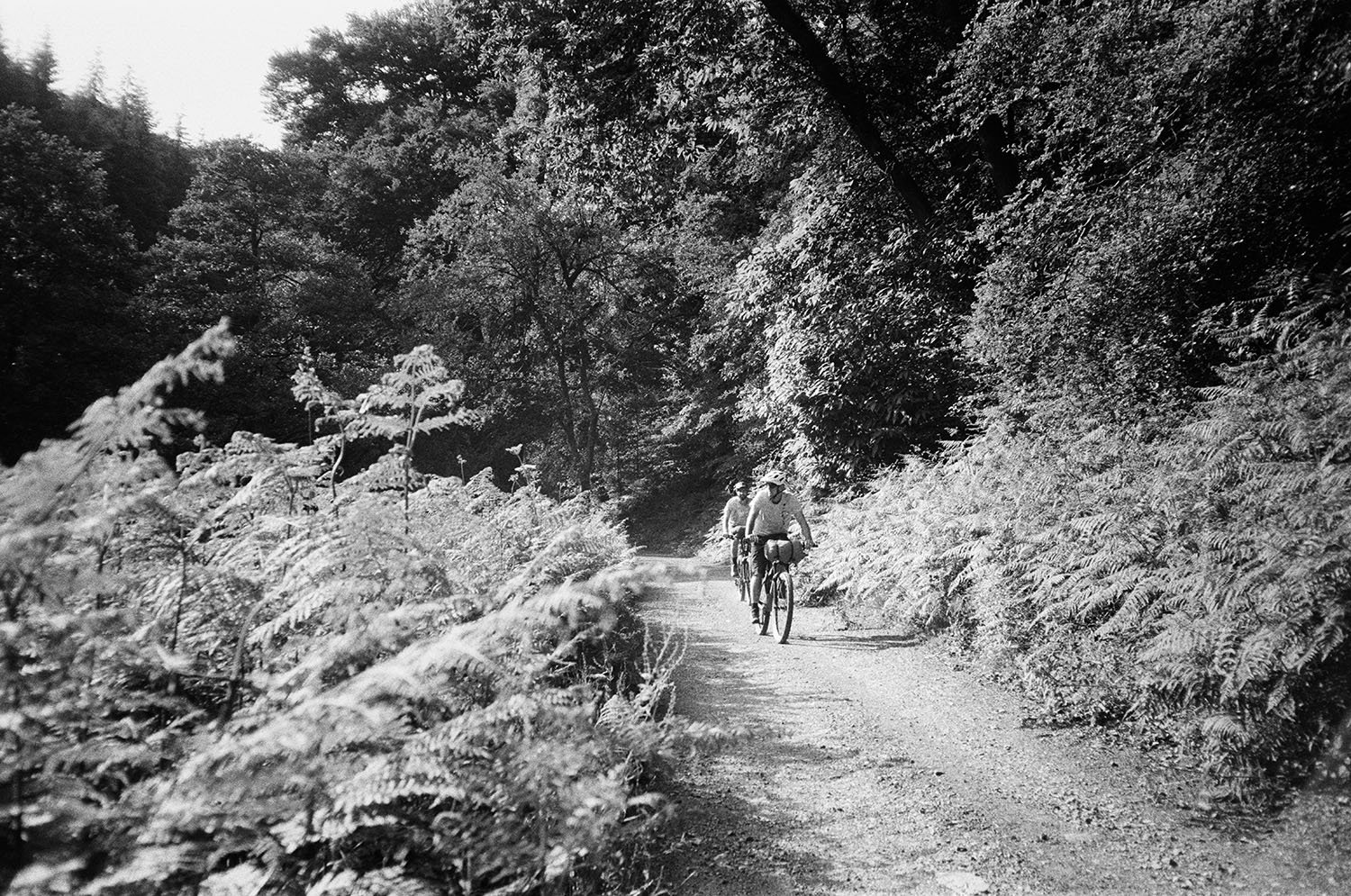
We followed country lanes and whenever we could bridleways and off road paths. We passed through little villages and bumped into some friends of Hugo’s who pointed us back in the right direction. We felt free, there were no wrong decisions and every turn was a little exploration.
We left one village by a little lane called West Street, simply due to the ‘West” in the name. Through some luck this led us on to a bridleway and continued along the edge of some fields and through woodland before spitting us out next to a river and another bridleway that followed its path. That was 10km or so of off road we otherwise wouldn’t have known about.
I’ve no idea how far we cycled over these 24 hours or so. By the most efficient route it would have been about 70km but of course this wasn’t efficient at all. I’m sure we zig zagged all over the place and almost ran over our own tails once or twice, though if a place is nice you may as well see it from every angle.
Having no map forced us to speak to a lot of people we otherwise wouldn’t have spoken to and go places we otherwise would never have gone. Not all paths were perfect, but every path and track and road was exciting, intriguing and totally not how it is when you know what is next.
We stopped at a pub in Dulverton for dinner then took the local’s recommendation of a bivvi under the trees in the park. It was a good spot with a thick canopy of leaves that held off most of the rain that fell in the night. Tom and I slept well, Hugo on the other hand forgot his bivvi bag and had a somewhat less pleasant and dry night.
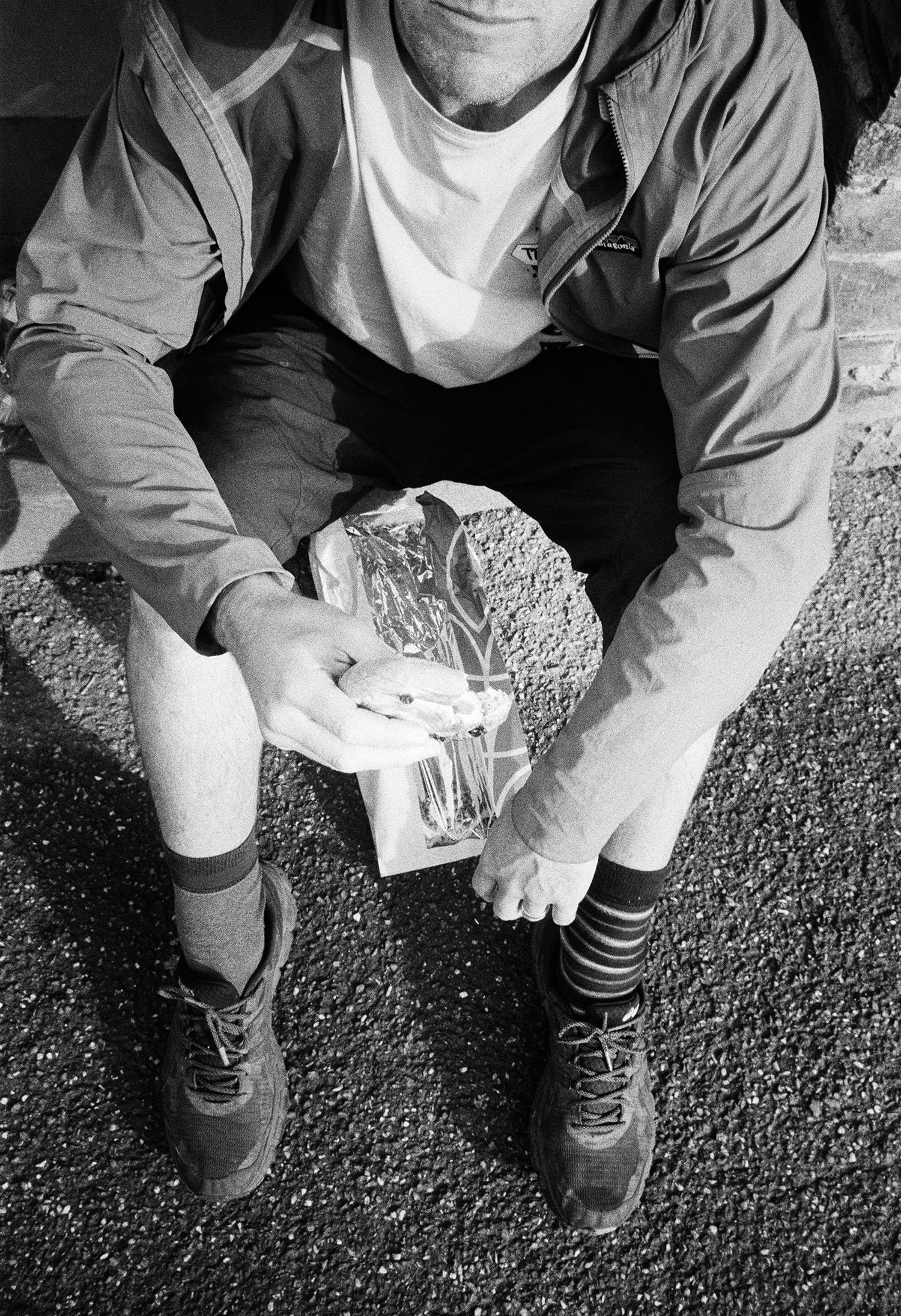
In the morning we continued, fuelled by pastries from the village shop. We followed more lanes, tracks and the wisdom of the compass. We found water from a hose pipe and took a passer-by’s recommendation on a ‘good cafe’.
At some point around lunchtime Tom realised he knew where we were, this was South Molton, the last town before we reached Max’s farm. So we grabbed some food for the BBQ and rolled on down the hill to the river Taw. Then just one hill back out of the valley and we got to where we wanted to be.
This little wild idea somehow worked out, somehow didn’t end in disaster but as we expected was a great little adventure.
Jacob


For more stories like this from my adventures and to be the first to see the photobook from my time in Fontainebleau please join my newsletter.